Oil and Gas Datasets
Key Oil and Gas Datasets
-
Accumulations →
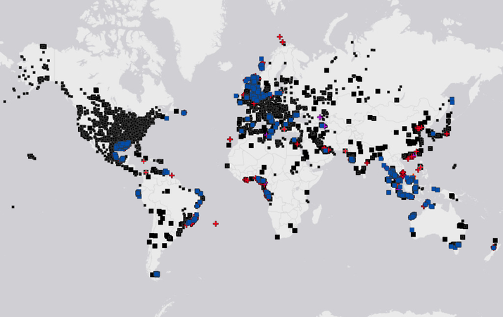
Oil and Gas Fields
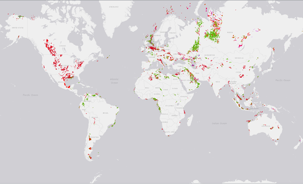
Our Global Database of oil and gas fields provides key attributes on discovered hydrocarbons.
An accumulation on the map represents a distinct, discovered hydrocarbon pool of any size. Accumulations include Discoveries (economic or not), Fields that are Under Development, Producing Fields, and Fields that have Ceased Production. Attributes include Discovery Year, Hydrocarbon Type, Status and Description. Take a look at these datasets by signing up for free today.
For more advanced attributes, get in touch to discuss our Advanced Accumulation layer and oil and gas datasets.
-
Blocks and Licences →
Licences, Concessions and Blocks
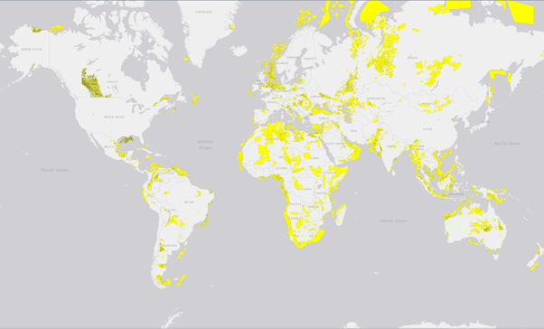
We produce a series of layers to describe the location of oil and gas licences, key information on the terms and dates, as well as the companies and partners involved.
Blocks are used to define the grid system’s Administrative Areas for licensing. Grid systems can be regular or custom shapes can be used to show previous Licences/Concessions in the area.
Licences-Concessions (aka Licence Header) contains the basic information on a Licence, PSC, or Concession that is actively licenced for research, oil and gas exploration, production, geothermal or some renewable energy purposes. The layer also contains known applications and areas in Force Majeure.
Licence Areas or sub-area contains other parts of a licence such as unitised area of field areas. These can have their own operator and partnership distinct from the Licence Header.
Licence Owners includes a licence area for each partner on the licence and their associated equity.
Take a look at our oil and gas datasets by signing up for free today.
-
Licensing Rounds →
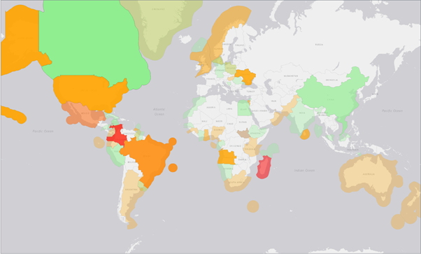
Licensing or Bid Rounds
Licencing Rounds, Bid Rounds or Tender Rounds are times when areas are opened up for licensing. We cover oil and gas licensing rounds, along with bid and tender rounds for renewables.
This layer includes key dates and is tied to the Offered Areas layer which covers the individual blocks or areas on offer.
We have a distinct layer showing the Offered Areas as blocks/licences/concessions offered in a licensing round or tender.
Take a look at our licensing rounds datasets by signing up for free today.
-
Boreholes →
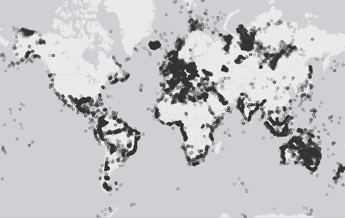
Boreholes
The Borehole or Well layer includes oil wells, gas wells, geothermal wells and research on stratigraphic boreholes.
Well Headers contain the basic parameters that describe the location of the borehole, its purpose, result and current status.
Take a look at our boreholes, as well as other oil and gas datasets by signing up for free today.
-
Seismic Surveys →
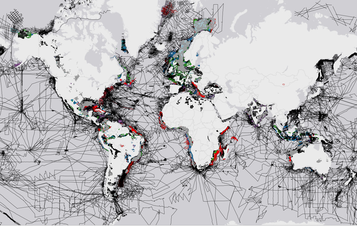
2D and 3D Seismic Surveys
2D Seismic Surveys are made up of a series of 2D seismic lines often acquired or processed with similar parameters.
2D Seismic Lines show the location of 2D lines. These lines can form part of a 2D survey. Geophysical surveys are a key dataset used in understanding the subsurface structure and geophysical properties.
3D Seismic Surveys show the location of 3D seismic surveys. This dataset includes both original surveys and merged reprocessed areas. Datasets include both multi-client datasets and spec surveys.
Take a look at our seismic surveys datasets and other global data on oil and gas by signing up for free today.
-
Pipelines →
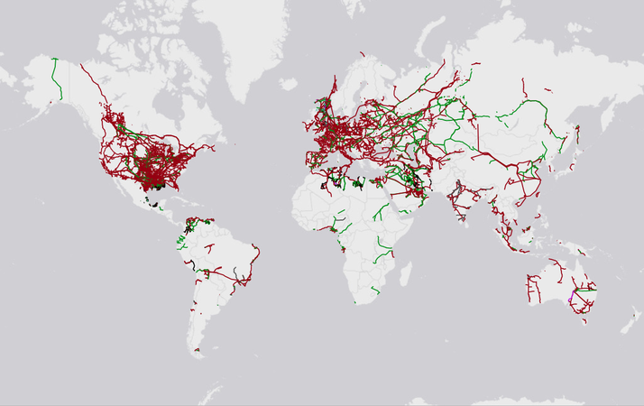
Pipelines
Pipelines are used for transporting fluids. Our pipeline database includes global data Oil and Gas (Hydrocarbon, CO2, Hydrogen), Products (i.e Refined products), Chemicals and Water.
Take a look at our datasets for pipelines by signing up for free today.
-
Terminals and Facilities →
Terminals and Facilities
Floating Facilities include FPSO (Floating Production, Storage and Offload), FLNG (Floating Liquid Natural Gas Facility), FSO (Floating Storage), and FSRU (Floating Storage Regasification Unit).
Platforms are offshore structures used in offshore wind or hydrocarbon development. These are predominantly in shallow water and fixed to the seafloor. Platforms can be small containing small production or processing units, or large with accommodation.
Seabed outlines all subsea infrastructure i.e. subsea production equipment, tanks or obstructions.
Terminals cover oil terminals, gas terminals, and LNG terminals. These generally have storage and have access to a port, pipeline road or rail for transporting the product.
Take a look at our datasets for terminals and facilities by signing up for free today.


Additional Oil and Gas Datasets
Prospects and Leads
Prospects and Leads are structures or sites where there is a high possibility of finding hydrocarbons. A lead is generally higher risk and will require further technical work before it is drill-ready. Prospects should be well-defined with good seismic coverage and many of the key parameters are derisked.
Take a look at our datasets for prospects and leads by signing up for free today.
For more advanced attributes talk to us about our Advanced Undiscovered Accumulation layer.
Admin Areas

Administrative Areas show countries or jurisdictions that manage Oil and Gas or Energy Licensing. This can be done at the Country, State, Territory or Regional level.
Within this layer, we include some areas which overlap due to disputes or unresolved territorial claims. In such cases, we try and show both sides of the claim without making a judgement on the validity of the claim.
Take a look at our datasets for admin areas by signing up for free today.
Rigs and Vessels
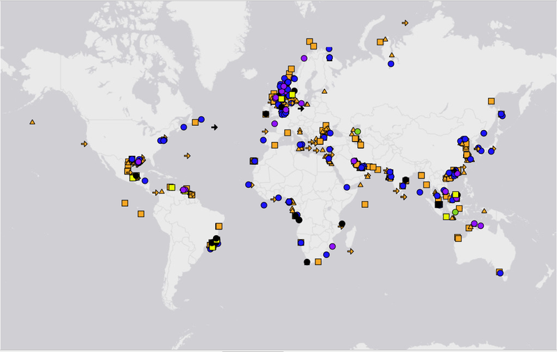
We track a fleet of key Oil Rigs and Vessels, locations are updated based on satellite AIS provided by Fleetmon. Rigs include Jack-ups, Semi-subs, Drill Ships and Barges. Vessels include Seismic, Offshore Support, Pipe-layer and Wind Support vessels.
Take a look at our datasets for rigs and vessels by signing up for free today.
Geological Basins
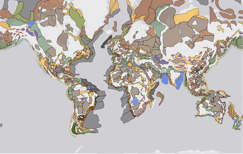
The Geological Basins layer describes the geological basins which are part of the global activity map.
Take a look at our datasets for geological basins by signing up for free today.

Boreholes

Seismic Lines

Licences

Oil and Gas Fields

Terminals
Data Sources
